
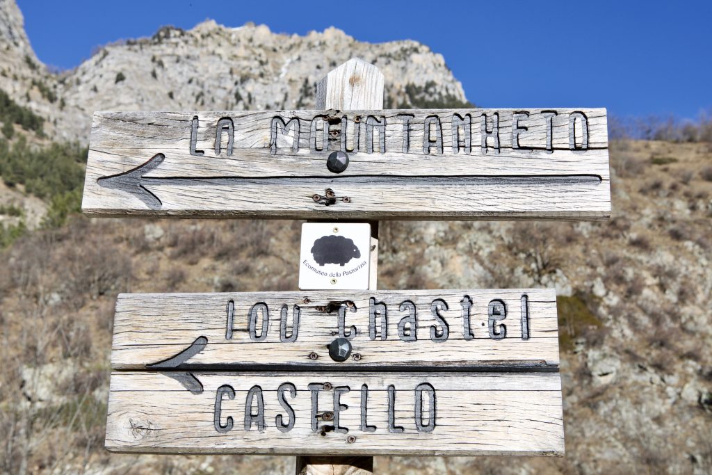
Every landscape is a unique heritage of biodiversity, landscapes and millennia-old knowledge. The Eco-museum of Shepherding tells us how farming and landscape are closely connected: for thousands of years the grazing of flocks has created, maintained, improved and shaped landscapes, favouring both plant and animal biodiversity.
We propose two routes in the footsteps of shepherds, farmers and smugglers to admire evocative landscapes and discover the signs left by man on the territory.
From Pontebernardo to Sambuco
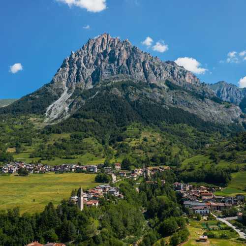
The Stura di Demonte valley has distinctive differences between the two sides. The right orographic side, exposed to midnight, the ubac in the langue d’oc, has slopes covered with thick fir and larch woods and is furrowed by deep valleys full of water. The left-hand slope, the adrech, facing south, is the kingdom of Scots pine and aromatic herbs that are adapted to drier soil. It is on this slope that the trail runs, covering the section between the Barricate gorge, an imposing natural rock barrier above Pontebernardo, and the ‘dolomitic’ walls of Roucha Biancha (Bersaio Mountain) that rise above Sambuco. Passing alongside fields – once cultivated with rye, potatoes and lentils and now used for haymaking or sheep grazing – and walking through the shade of the evergreen Scots pine, you will cross delightful hamlets, observe the high pastures where the flocks spend the summer and admire the imposing peaks of this corner of the Alps.
Duration: 3.15 h
Total difference in altitude: 325 m
Difficulty level: T (tourist)
From Pontebernardo to Ferriere
The trail runs between the towns of Pietraporzio and Argentera.
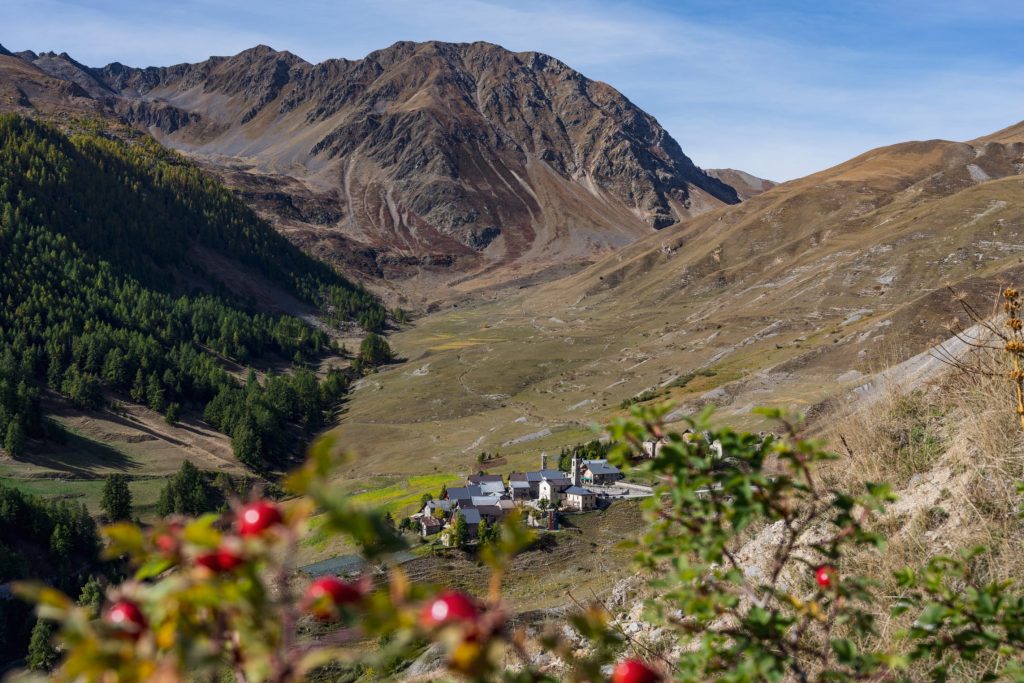
The starting point is the village of Pontebernardo. Following the old mule track that climbs the steep slope, you will pass through the Murenz hamlet, the locality of Lou Quioùot de la Loubìera and some fortified cave structures dating back to the 1940s. Crossing the valleys where the signs of sheep farming are visible, you will go down to the Rio Forneris and after a short climb, you will take the mule track for the Colle del Ferro, then follow it until you reach the Ferriere hamlet, home to the Mizoun del Countrabandier.
The Loubiera entrenchment
At the beginning of the 18th century, one of the most important defence lines in the Stura Valley became the natural barrage of the Barricades. In 1742, in anticipation of the descent into the valley of the troops of the Gallo-Hispanic army, the line of defence was reinforced with a long dry stone entrenchment on the Loubiera and Murenz plateau, which is still visible today.
Duration: 3.30 h
Total difference in altitude: 1045 m
Difficulty: E (hiking)